


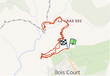

11,9 km | 24 km-effort

Utilisateur


Application GPS de randonnée GRATUITE
 SityTrail
IGN / Instituts géographiques
SityTrail World
Le monde est à vous
Randonnée Trail de 10,4 km à découvrir à La Réunion, Inconnu, Le Tampon. Cette randonnée est proposée par sylviedaniel.
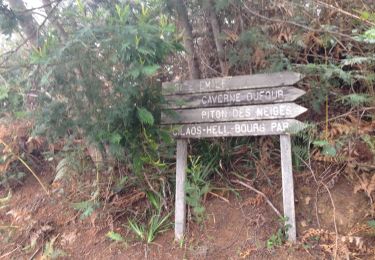
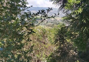
Point de vue de bois court accessible en voiture et magnifique quand c'est dégagé.
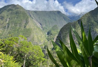
L'îlet Grand Bassin est vraiment magnifique et propre, y'a pleins de gîtes super simpa ! La cascade est grandiose mais très froide et pas de soleil en hiver. Il doit yen avoir en été !
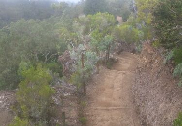
La montée est longue !
Bast & Meg


Marche
Marche
Marche
Marche
A pied

Marche
Marche
Marche
Marche